
Researchers are using new methods to understand the surface of our planet with advanced remote-sensing technology.
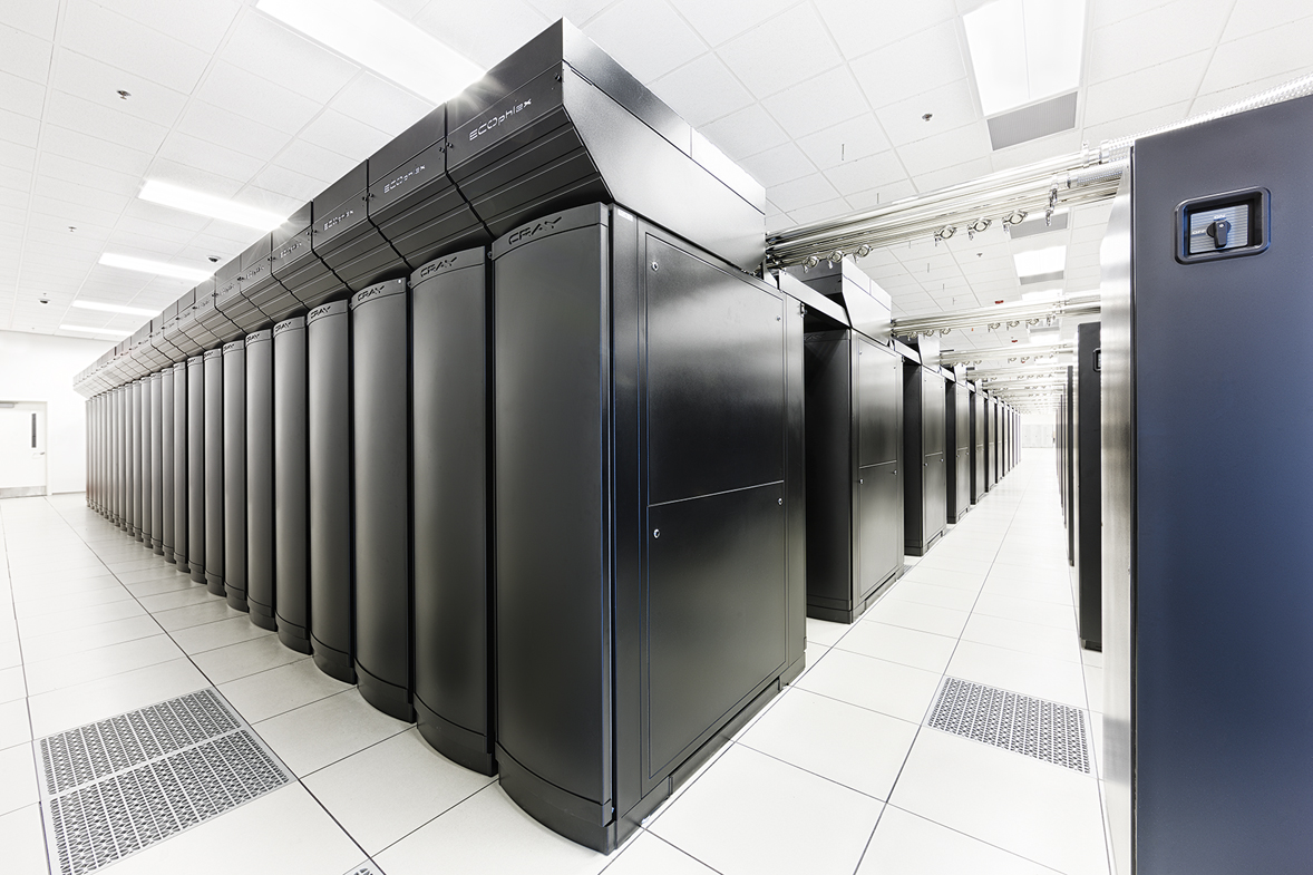
The National Center for Supercomputing Applications (NCSA) at the University of Illinois at Urbana-Champaign is enabling an expanded collaboration between the Blue Waters Project, the National Geospatial-Intelligence Agency, the University of Minnesota and The Ohio State University to produce digital elevation models (DEM) of the entire Earth, among other geospatial research projects.
The collaboration, which is funded with an initial $11.1 million from the NGA through the National Science Foundation (NSF), will make Blue Waters the most powerful dedicated, non-classified geospatial system in the world, capable of bringing unprecedented speed and efficiency to global mapping, and fundamentally changing the way humans view the Earth.
This project is a continuation of the existing Blue Waters project and leverages the Project’s domain expertise in large scale system management, optimizing workflows, applications and complex data analysis.